District 9 – Central East
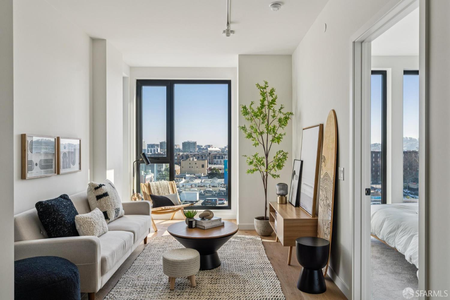
The central-eastern portion of San Francisco, District 9, is evolving and considered to be one of the most up-and-coming areas in San Francisco.

The central-eastern portion of San Francisco, District 9, is evolving and considered to be one of the most up-and-coming areas in San Francisco.

34,983 people live in District 9 – Central East, where the median age is 41.1 and the average individual income is $64,518. Data provided by the U.S. Census Bureau.
Total Population
Median Age
Population Density Population Density This is the number of people per square mile in a neighborhood.
Average individual Income
District 9 – Central East has 19,543 households, with an average household size of 1.65. Data provided by the U.S. Census Bureau. Here’s what the people living in District 9 – Central East do for work — and how long it takes them to get there. Data provided by the U.S. Census Bureau. 34,983 people call District 9 – Central East home. The population density is 52,884.24 and the largest age group is Data provided by the U.S. Census Bureau.
Total Population
Population Density Population Density This is the number of people per square mile in a neighborhood.
Median Age
Men vs Women
Population by Age Group
0-9 Years
10-17 Years
18-24 Years
25-64 Years
65-74 Years
75+ Years
Education Level
Total Households
Average Household Size
Average individual Income
Households with Children
With Children:
Without Children:
Marital Status
Blue vs White Collar Workers
Blue Collar:
White Collar:
There's plenty to do around District 9 – Central East, including shopping, dining, nightlife, parks, and more. Data provided by Walk Score and Yelp.
Explore popular things to do in the area, including When Butter Met Sugar, Creative International Pastries, and Fit For the Ages.
| Name | Category | Distance | Reviews |
Ratings by
Yelp
|
|---|---|---|---|---|
| Dining · $$ | 2.92 miles | 23 reviews | 5/5 stars | |
| Dining · $$ | 2.19 miles | 15 reviews | 5/5 stars | |
| Active | 1.73 miles | 5 reviews | 5/5 stars | |
| Active | 0.63 miles | 7 reviews | 5/5 stars | |
| Active | 2.19 miles | 7 reviews | 5/5 stars | |
| Active | 0.92 miles | 8 reviews | 5/5 stars | |
| Active | 4.22 miles | 5 reviews | 5/5 stars | |
| Active | 1.91 miles | 6 reviews | 5/5 stars | |
| Active | 0.92 miles | 17 reviews | 5/5 stars | |
| Active | 3.31 miles | 10 reviews | 5/5 stars | |
| Beauty | 2.46 miles | 6 reviews | 5/5 stars | |
| Beauty | 1.2 miles | 5 reviews | 5/5 stars | |
| Beauty | 1.31 miles | 5 reviews | 5/5 stars | |
| Beauty | 1.43 miles | 7 reviews | 5/5 stars | |
| Beauty | 1.03 miles | 6 reviews | 5/5 stars | |
| Beauty | 0.74 miles | 7 reviews | 5/5 stars | |
| Beauty | 0.83 miles | 22 reviews | 5/5 stars | |
| Beauty | 0.93 miles | 7 reviews | 5/5 stars | |
|
|
||||
|
|
||||
|
|
||||
|
|
||||
|
|
||||
|
|
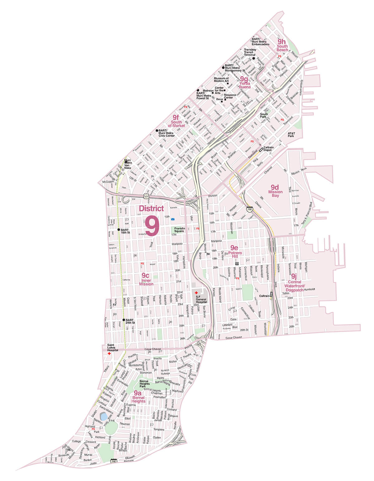
The central-eastern portion of San Francisco, District 9, is evolving and considered to be one of the most up-and-coming areas in San Francisco. Although some neighborhoods of the district have traditionally been residential, other areas were once home to warehouses, light industry, and shipping yards. Oracle Park, home of the San Francisco Giants and the Mission District are two of the well-known locations.Being the largest district, each neighborhood has a distinct character; the Mission area is the vibrant and colorful heart of the Latino community.
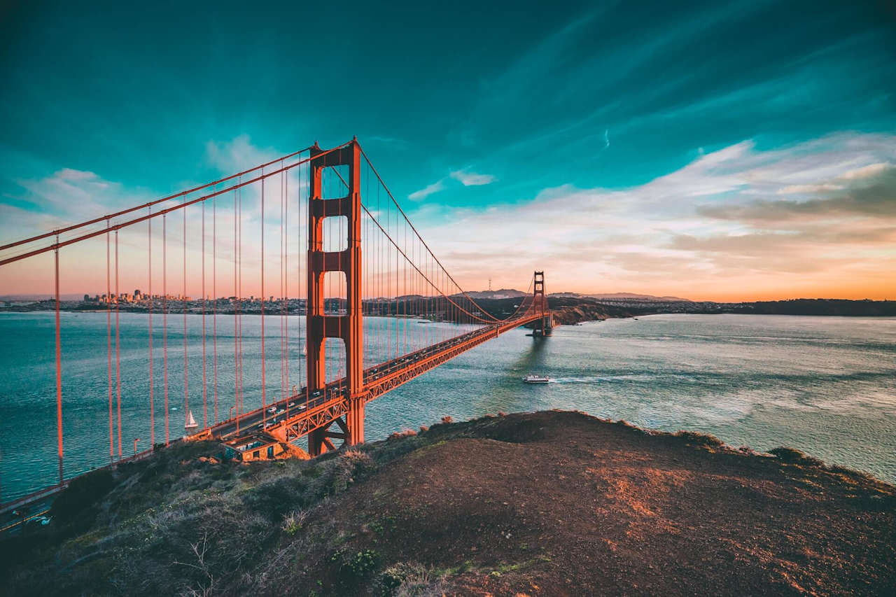
Potrero Hill and Bernal Heights have family-friendly small town atmospheres, while SoMa, South Beach, Yerba Buena, and Mission Bay have edgier city vibes with lofts and condominiums. Dogpatch escaped the destruction of the 1906 earthquake and fire and is the location of some of the oldest homes in San Francisco.
Easy access to Highway 101, 280, and 80 make commuting to all points north, south, east, or west straightforward and convenient.



You’ve got questions and we can’t wait to answer them.